
Routes of national nature parks
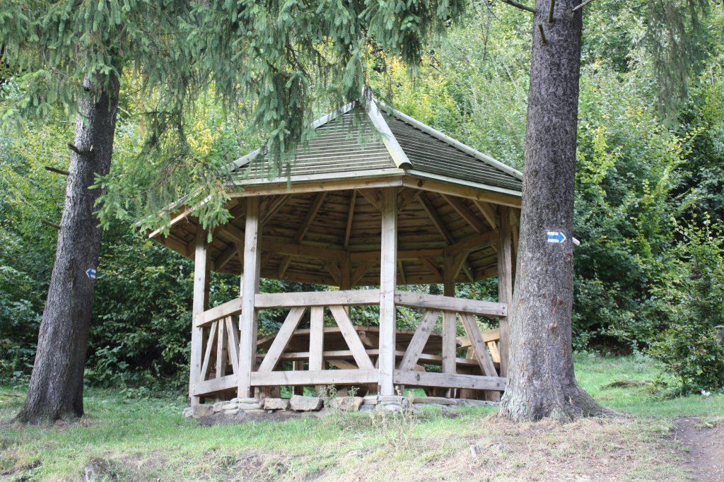
Routes of the Uzhok National Nature Park
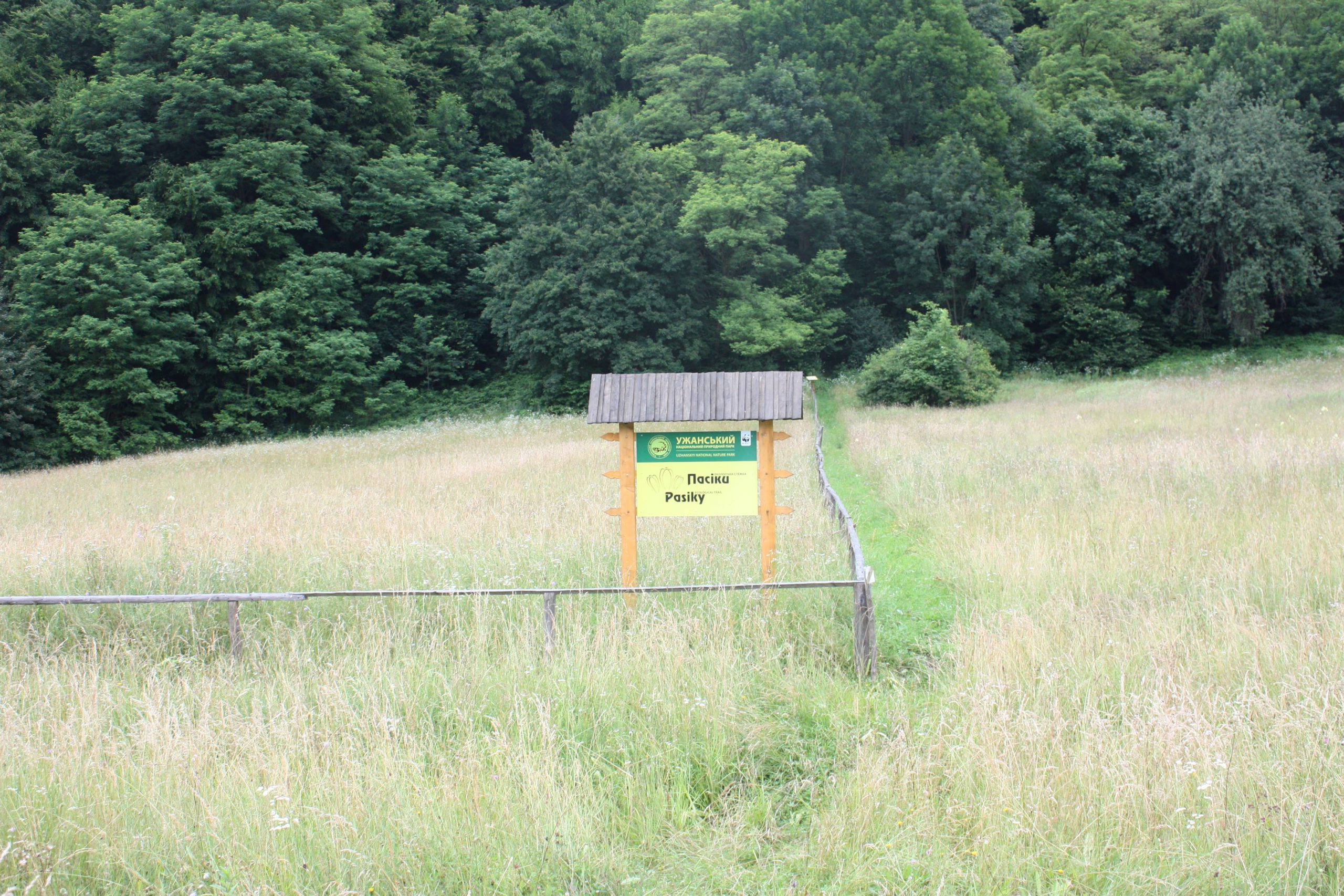
Apiary ecological trail
TYPE OF ROUTE: pedestrian
THE LENGTH OF THE ROUTE: 1.5 km
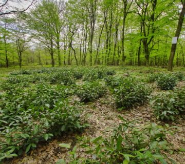
The proposed trail runs through the Pasiki tract, near the botanical reserve of the same name, where an extremely interesting and beautiful plant, the autumn crocus, is protected. The Uzh river flows nearby. Its course is blocked by massive outcrops of flysch rocks - rapids. The river flow overcomes these obstacles, creating beautiful water drops. The beech forest, located in an easily accessible place, has retained its pristine beauty
Routes of the Uzhok National Nature Park
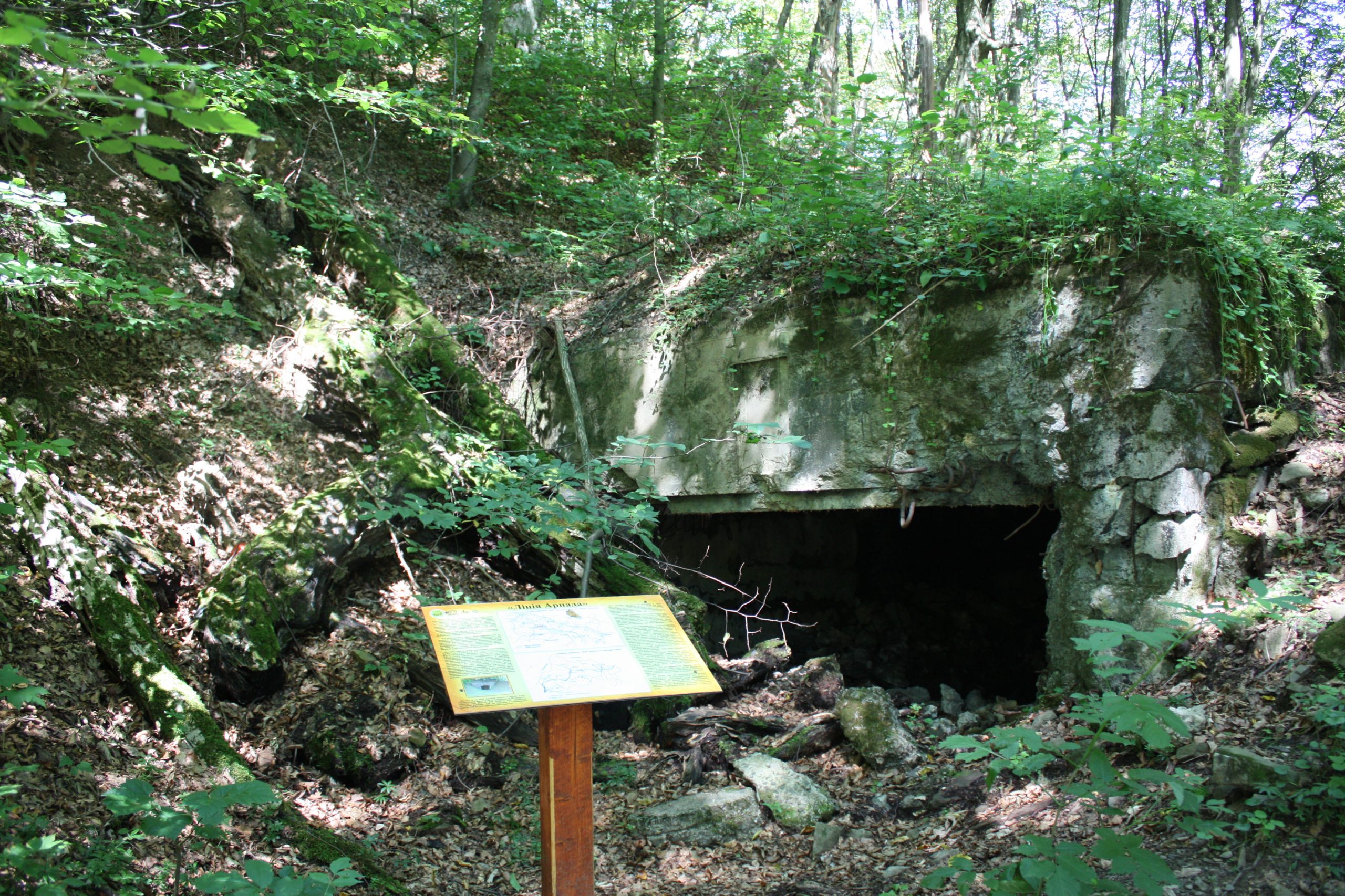
The Arpad Line ecological trail
TYPE OF ROUTE: pedestrian
THE LENGTH OF THE ROUTE: 1 km
During the Hungarian occupation (1939-1944), a stronghold of the Hungarian defence system, the Arpad Line, was established in the beech forest. Similar points were scattered all over the Carpathian ridge, as well as in the Zakarpattia lowlands. When constructing them, Hungarian military engineers tried to take maximum advantage of the mountainous terrain.
Routes of the Uzhok National Nature Park
Uzhok ecological trail
TYPE OF ROUTE: pedestrian
THE LENGTH OF THE ROUTE: 3.2 km
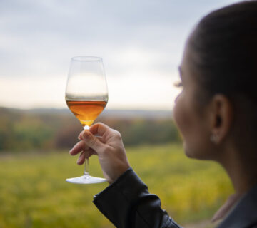
The proposed trail starts from the tourist information centre of the village of Uzhok (the administrative building of the village council) and goes to the top of the Uzhok Pass. At the beginning of the trail, there are mineral springs, on the basis of which a sanatorium complex for the treatment of the musculoskeletal system successfully operated until 1914. For this purpose, the water was heated in vats over an open fire. There are many cases of recovery of seriously ill patients from different parts of Europe. The chemical composition of water is defined as carbon dioxide, bicarbonate, calcium and sodium.
Routes of the Uzhok National Nature Park
The Irtashi Ecological Trail
TYPE OF ROUTE: pedestrian
THE LENGTH OF THE ROUTE: 2.2 km
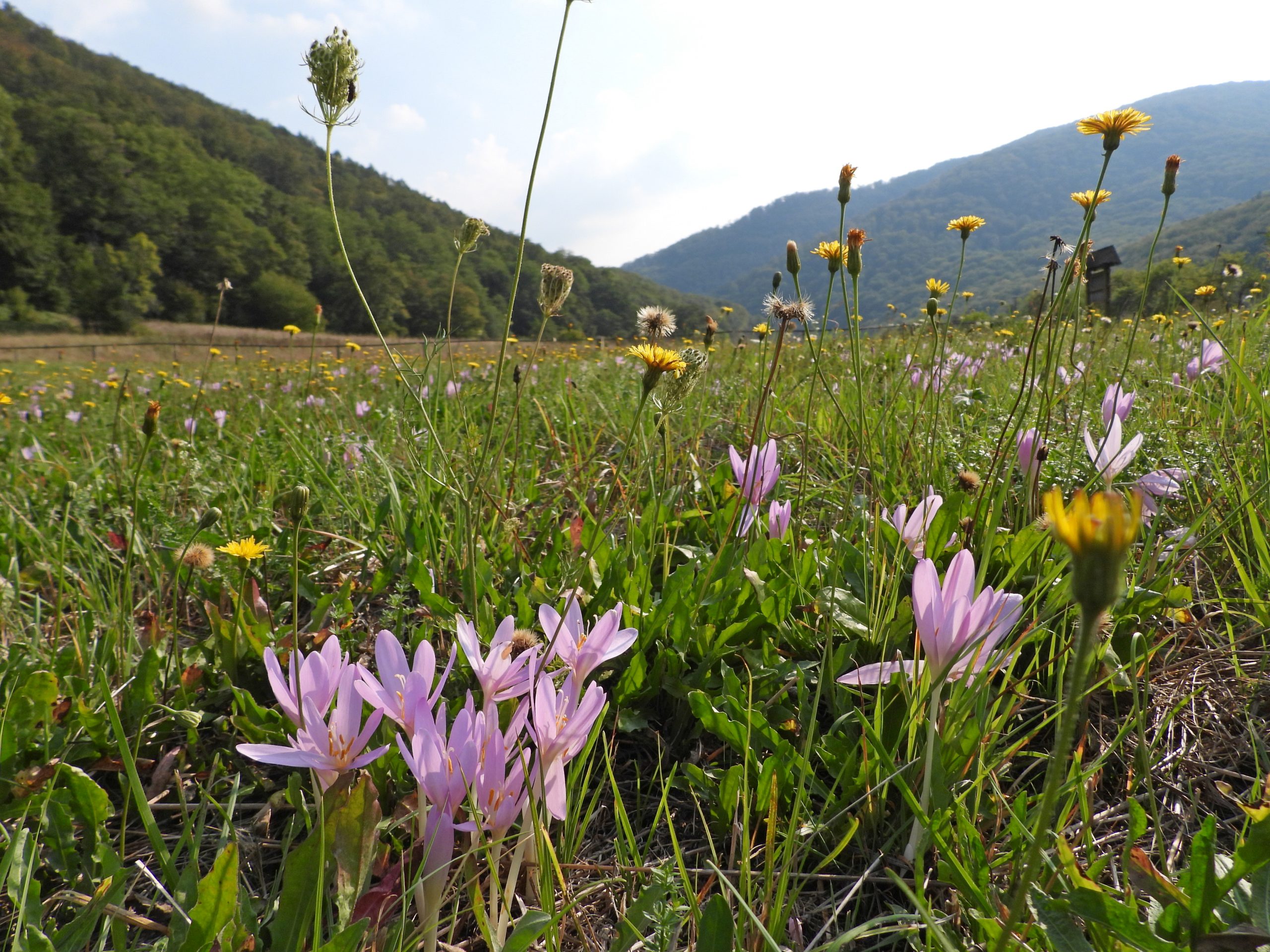
There are two plots of the Irtashi Botanical Reserve, which protects the population of a rare and very beautiful plant - the autumn crocus. The reserve was established in 1983 on the initiative of Vasyl Komendar, a professor at Uzhhorod National University, to protect a rare plant species listed in the Red Book of Ukraine - the autumn crocus.
Routes of the Uzhok National Nature Park
The Twin Ecological Trail
TYPE OF ROUTE: pedestrian
THE LENGTH OF THE ROUTE: 3 km
The proposed trail starts near the branch's estate and runs to the Blyznya tract. At the beginning of the trail, there are picturesque meadows with impressive grasses. From early April to late October, you can always see flowering plants here.
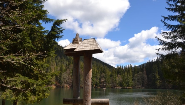
Routes of the Synevyr National Park
Among the tourist routes that run through the Synevyr National Nature Park are the following:
Kolochava ecological trail
Museum of Forest and Rafting - Ozirce (Wild Lake)
Krasny tract - Lake Synevyr
Synevyr pass - Kamyanka mountain - Synevyr lake
Ostryky - Mount Hrebin
Hlukhanya - Kosy Verkh mountain
Kolochava - Mount Strymba
Ostryky - Dam
Arpad's line
Details of each of these routes can be found on the website of the Synevyr National Park
Routes of the Enchanted Land National Park
Among the tourist routes that run through the Zacharovanyi Krai National Nature Park are the following:
- с. Pidhirne village - "Rosokha" tract, 3 km long, on the territory of the Zacharovany Krai National Park. The route is marked;
- с. Pidhirne village - "Smerekovyi Kamen" rock massif tract, 13.6 km long, on the territory of the Zacharovany Krai National Park. The route is marked;
- "Black Mud" tract - Buzhora mountain, 4.9 km long, on the territory of the Zacharovany Krai National Park. The route is marked.
- Kamianka tract - Mineral Spring, 3.6 km long, on the territory of the Enchanted Land National Park. The route is marked, equipped with directional signs and information stands.
- с. Ilnytsia village, Novoselytsia settlement - the "Smerekovyi Kamen" rock massif tract, 1.6 km long, on the territory of the Zacharovanyi Krai National Park. The route is marked and equipped with directional signs;
- Kamianka tract - Smerekovyi Kamen rock massifs ("Enchanted Valley"), 7.2 km long, on the territory of the Zacharovany Krai National Park. The route is marked, equipped with directional signs and information stands.
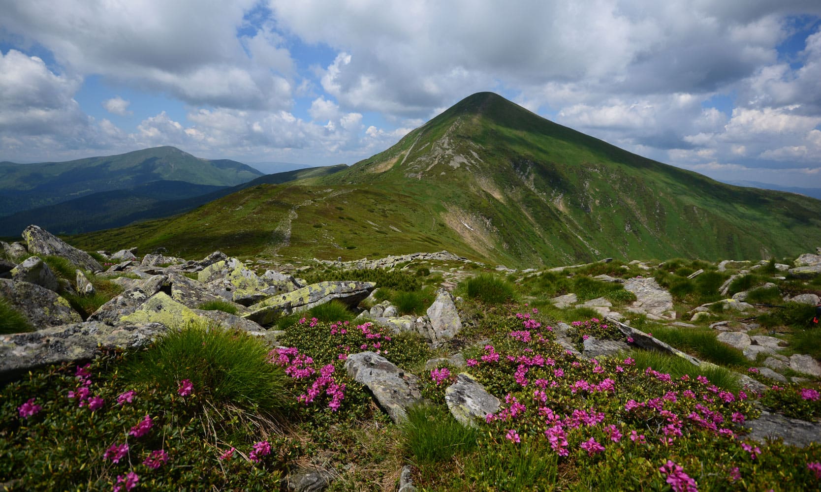
Routes of the Carpathian Biosphere Reserve
Among the tourist routes that run through the Carpathian Biosphere Reserve are the following:
- To Hoverla via the Gropa valley
- On the Tisza River
- Beech forests of Velyka Uholka
- Through the Keveli virgin forests on Petros
- The Valley of the Daffodils
- Beech forests of Mala Uholka
- Through the virgin forests of Chornohora to Hoverla
- To St John of Marmora
- To the Lichy waterfall
- To Sokolyn Bird
Details of each of these routes can be found on the website of the Carpathian Biosphere Reserve
No comment