KEY STEPS OF THE ROUTE:
с. Kostryno - g. Yavirnyk - Ruskyi Mochar villageTHE LENGTH OF THE ROUTE: 8 km
TYPE OF ROUTE: pedestrian
Marking is available, colour red
MAIN ATTRACTIONS: the ancient tourist shelter Yavirnyk, the tallest European forest beech trees, a monitoring plot in the virgin forest, established by Czech scientist A. Zlatnik in 1934-1936
KEY STEPS OF THE ROUTE:
с. Zhornava - g. Golanya - Zhornava villageTHE LENGTH OF THE ROUTE: 4 km
TYPE OF ROUTE: pedestrian
Marking is available, colour blue
MAIN ATTRACTIONS: The Arpad Line fortifications of the Second World War, a reserve of green ash, a population of Carniolea scopola, and habitats of the forest cat.
KEY STEPS OF THE ROUTE:
г. Kremenets - Stuzhytsia village - g. Kremenets - Stuzhytsia villageTHE LENGTH OF THE ROUTE: 9 km
TYPE OF ROUTE: pedestrian
Marking is available, colour red
MAIN ATTRACTIONS: Beech virgin forest. A stele at the place where the borders of Ukraine, Poland and Slovakia meet. A spring blessed for centuries. You can see: deer, roe deer, traces of the "ruler of the Carpathians" - a brown bear, or even the bear itself
KEY STEPS OF THE ROUTE:
Lubnya village - g. Cheremkha - g. Menchul - Lubnya villageTHE LENGTH OF THE ROUTE: 7 km
TYPE OF ROUTE: pedestrian
Marking is available, colour blue
MAIN ATTRACTIONS: nThe "Zhyvanski Pits" robbers' holes, views of the Polish part of the Biosphere Reserve, the World War I military cemetery, subalpine meadows of the town. Cheremkha (1130 m)
KEY STEPS OF THE ROUTE:
Uzhok Pass - m. Rassypanets - Verkhovyna-Bystra villageTHE LENGTH OF THE ROUTE: 21 km
TYPE OF ROUTE: pedestrian
Marking is available, colour blue
Beech crooked forest - found only in the Eastern Beskydy. Scenic outcrops of flysch rocks. The best views of the Polish and Ukrainian territory. Bukowski Peak is the highest peak in the park. Mount Opolonek is the southernmost extreme point of Poland. In May and July, you can see bison
KEY STEPS OF THE ROUTE:
Shcherbyn station - Uzhok passTHE LENGTH OF THE ROUTE: 7 km
TYPE OF ROUTE: pedestrian
Marking available, colour green
MAIN ATTRACTIONS: Uzhotskyi Pass (889 m) watershed of the Baltic and Black Seas. Military cemetery of the World War I (autumn 1914) Hike over the longest tunnel in Ukraine (904 m)
KEY STEPS OF THE ROUTE:
Uzhok Pass - m. Rassypanets - Verkhovyna-Bystra villageTHE LENGTH OF THE ROUTE: 21 km
TYPE OF ROUTE: pedestrian
Marking is available, colour blue
Beech crooked forest - found only in the Eastern Beskydy. Scenic outcrops of flysch rocks. The best views of the Polish and Ukrainian territory. Bukowski Peak is the highest peak in the park. Mount Opolonek is the southernmost extreme point of Poland. In May and July, you can see bison
KEY STEPS OF THE ROUTE:
Uzhok pass - source of the Uzh river - Uzhok villageTHE LENGTH OF THE ROUTE: 9 km
TYPE OF ROUTE: pedestrian
Marking is available, colour blue
MAIN ATTRACTIONS: Uzhok pass, military cemetery of the First World War, the source of the Uzh river, the robber's cave "Zhyvanski yamy", a wooden church in the village of Uzhok
KEY STEPS OF THE ROUTE:
с. Strychava - "Chorni Mlaki" tract - Stuzhytsia village - Strychava villageTHE LENGTH OF THE ROUTE: 42 km
TYPE OF ROUTE: cycling
MAIN ATTRACTIONS: ur. "Black Mlaky" - the place where the largest meteorite in Europe fell, beech and sycamore forests, thousand-year-old oaks in the village of Stuzhytsia, Church of the Intercession of the Blessed Virgin Mary (1645) in Kostryno
KEY STEPS OF THE ROUTE:
с. Stavne - g. Cheremkha - village. Lubnya - village. StavneTHE LENGTH OF THE ROUTE: 20 km
TYPE OF ROUTE: equestrian
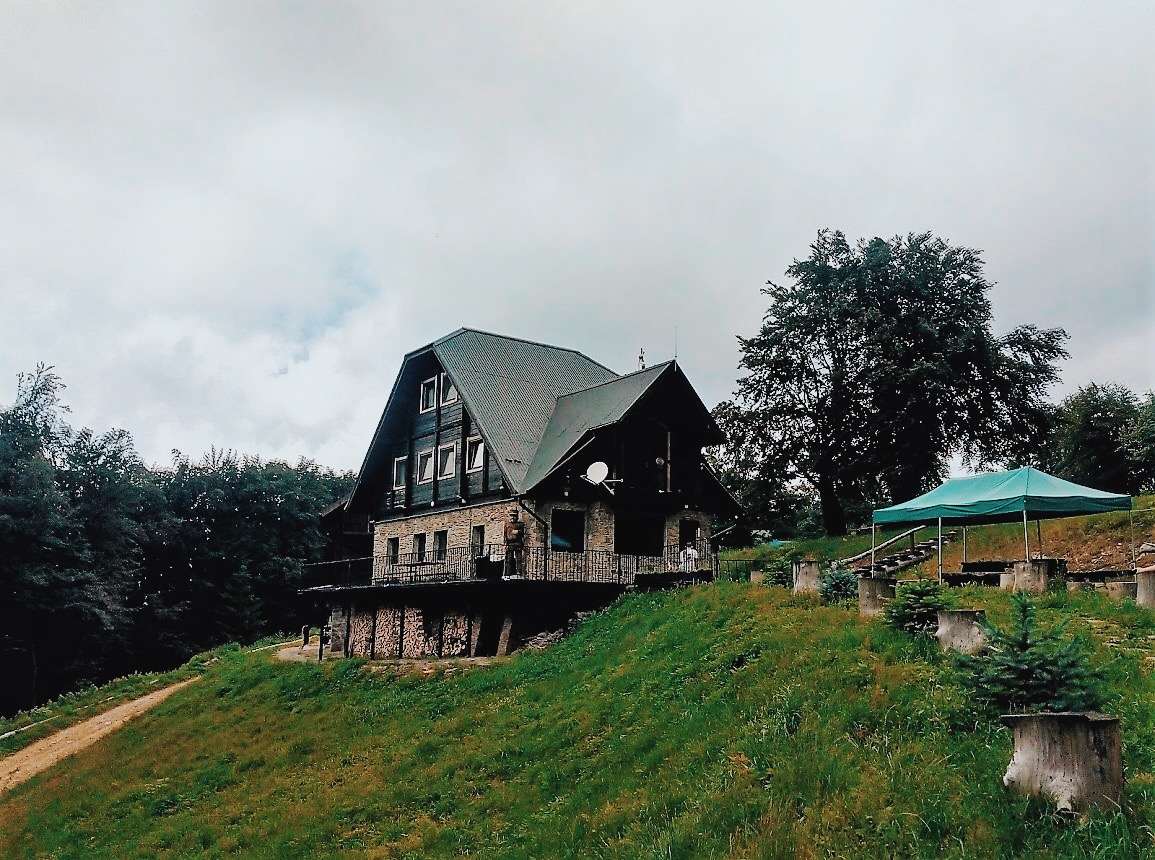
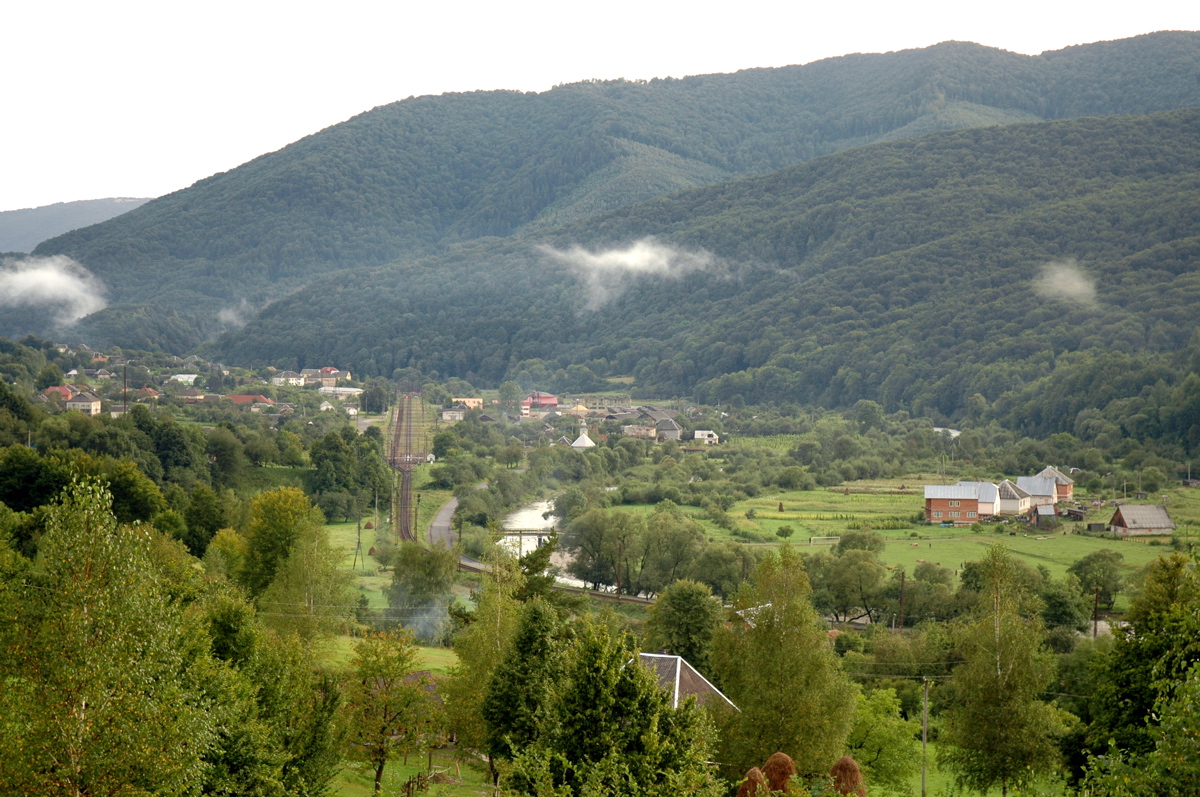
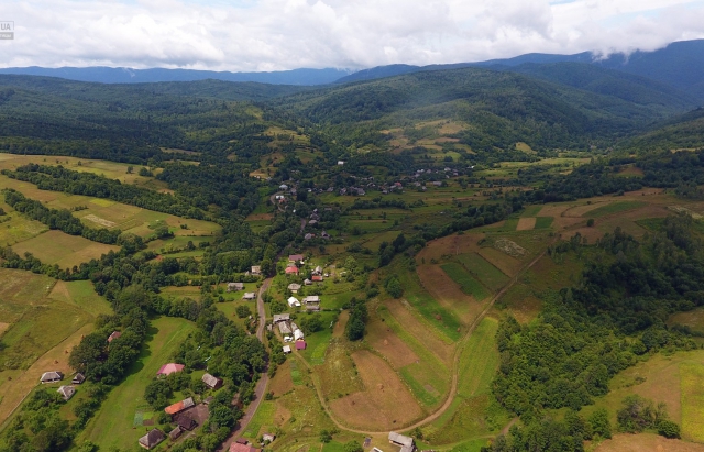
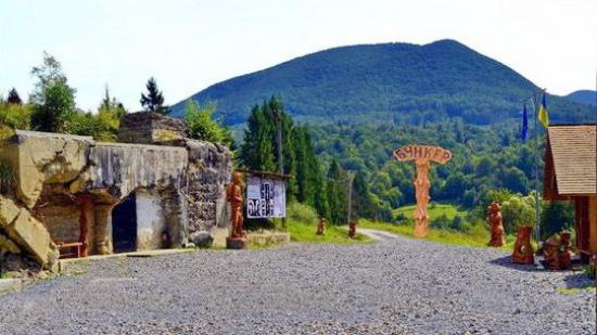
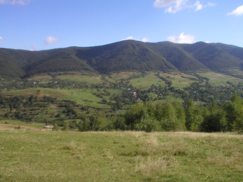
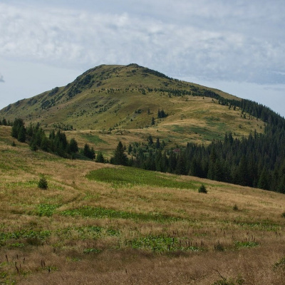
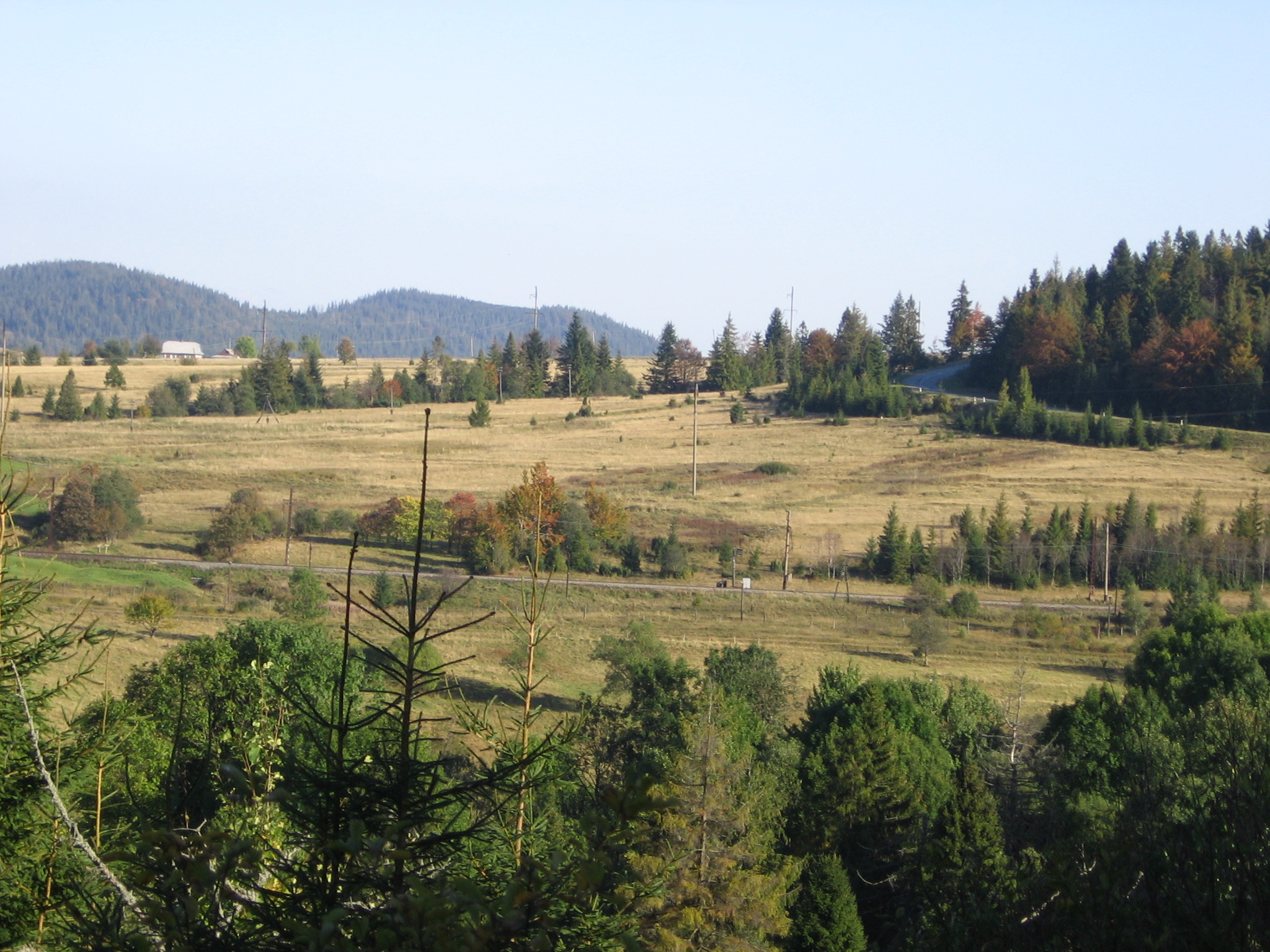
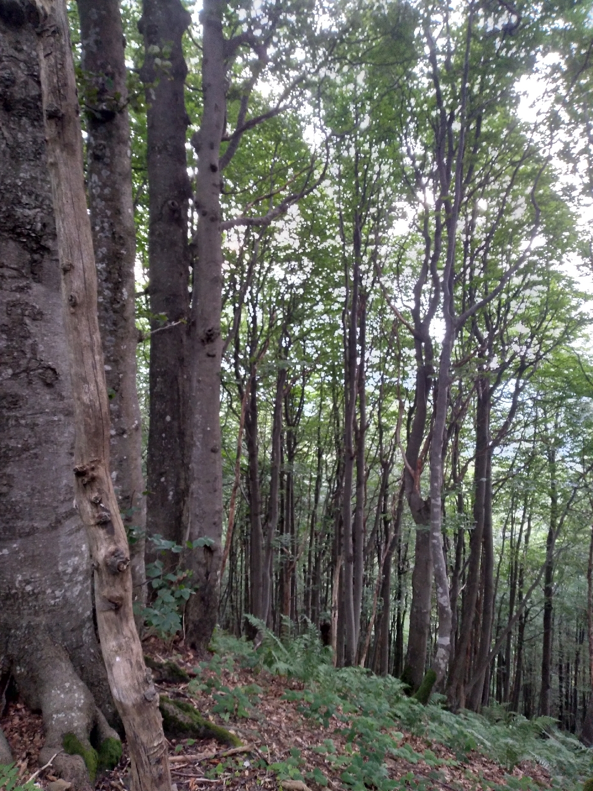
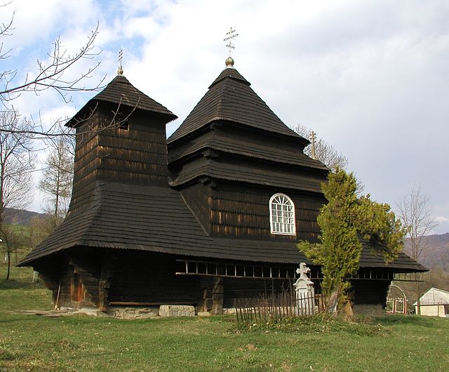
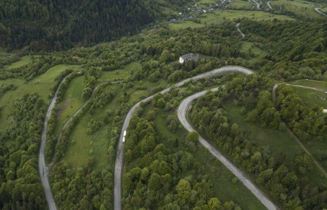
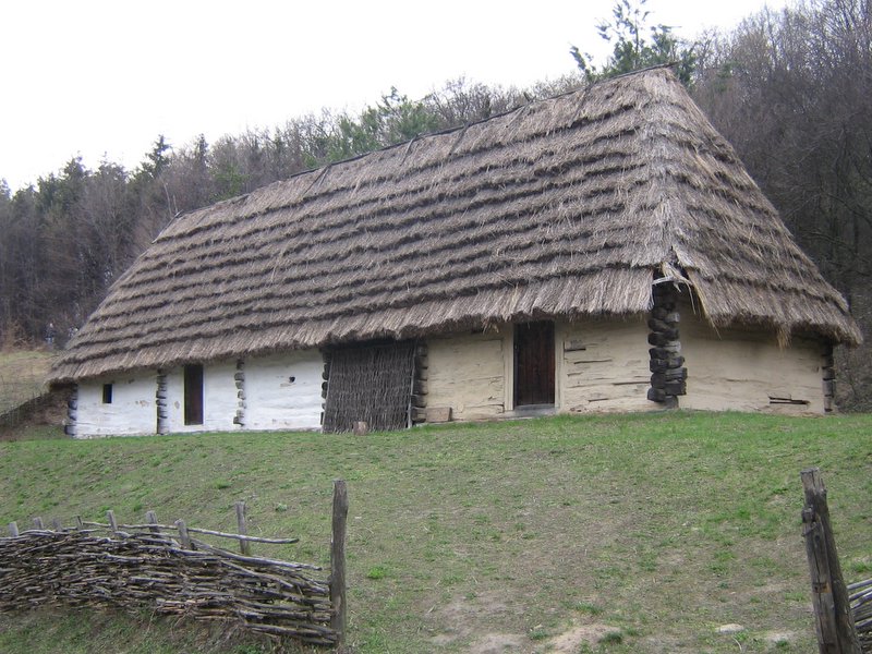
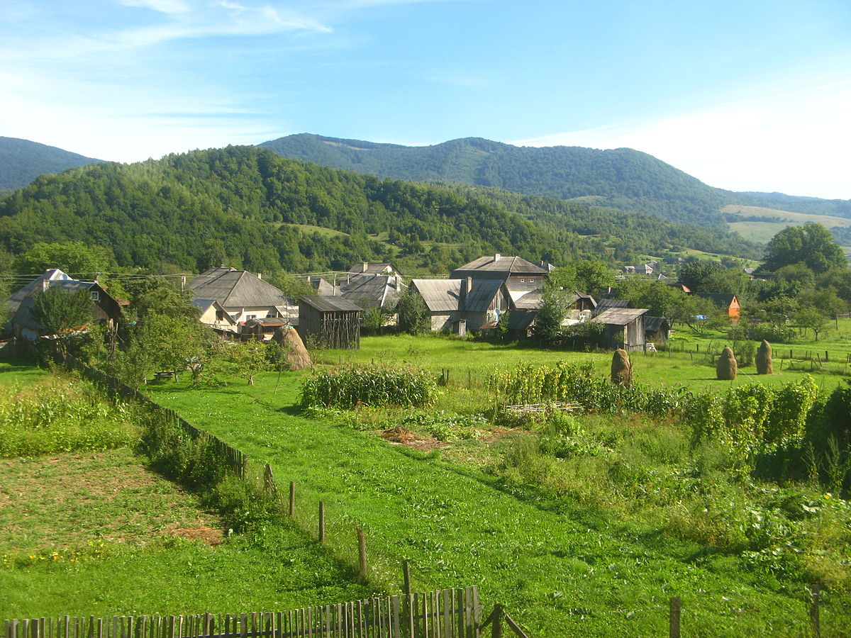
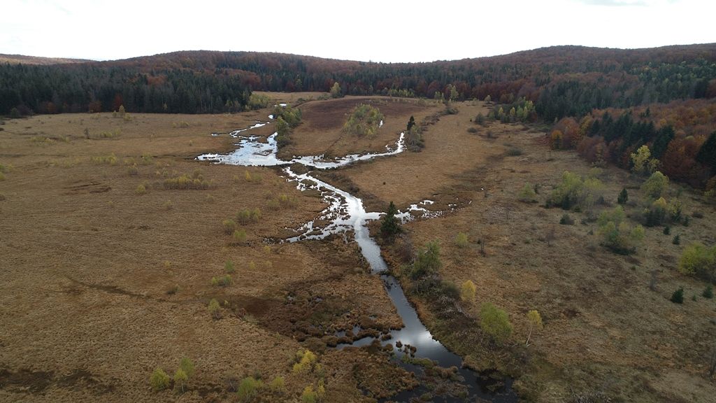
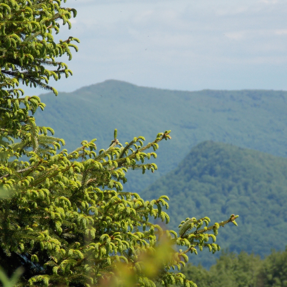
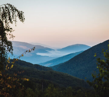
MAIN ATTRACTIONS: Picturesque meadow in the tract "Bagno" (5.6 hectares), where there is a holiday home, Mount Cheremkha (1130 m), tract "Bagno", the village of Lubnya, where you can visit the local museum. Also, by agreement, it is possible to climb to the tract "Boundary" where there is a kolyba and a hiking trail "Lubnya - Volosate" is planned (additional 4 km).

No comment